GeotIS - The digital geothermal energy atlas
Discover new heat sources with GeotIS
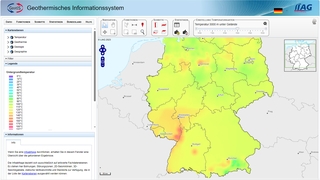
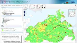
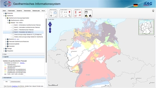
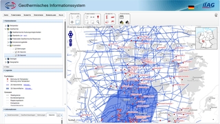
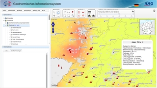
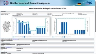
The geothermal information system GeotIS is a freely accessible digital information system on geothermal energy and offers you extensive opportunities to investigate the potential use of geothermal resources in your region.
Use the start button to start researching directly or find out more about geothermal energy and its various possible uses on our pages.
The system was developed by LIAG Institute for Applied Geophysics together with various universities, research institutions and companies on behalf of the German Bundestag.
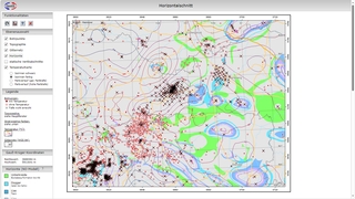
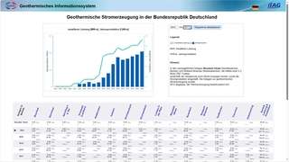
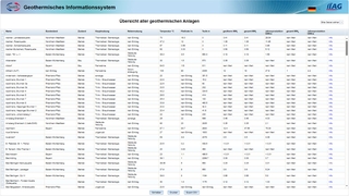
Thanks to its extensive range of tools, GeotIS offers numerous research options from the initial overview to the calculation of possible returns.
We use the data collected from several decades of geoscientific investigations to present a model of the subsurface that is as detailed as possible. Our data and models are regularly updated and adapted to the latest findings.
News
Events
Geotherm Offenburg
The next GeoTHERM expo & congress will take place in Offenburg on February 26 and 27, 2026. The GeotIS-Team will once again be represented with a booth, we look forward to your visit!
Further information: Geotherm Offenburg


 Sprache zu Deutsch wechseln
  Continue in English